Extracting all the benefits ofBIM-technologies
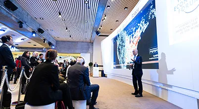
To demonstrate the possibilities of cooperation using the latest technologies, Hensel Phelps sent its team to participate in the 48-hour virtual design competition Build New York Live. The goal was to show how data can be exchanged between different systems, and what benefits this brings to interested parties. The competition was attended by 16 diverse divisions of Hensel Phelps, which included about 45 employees. Each team had to provide its own solution for a design assignment for a certain development area in New York. After 48 hours, each team had to submit a completed coordinated package of documentation for construction and infrastructure management.
They had to create working documentation for the construction and consider the issue of maintenance and redevelopment of the proposed solution using Autodesk products, ensuring data exchange between team members located in different UK offices of Hensel Phelps. The use of the recently implemented virtual desktop system has significantly increased the possibilities of cooperation between departments located in different offices of Hensel Phelps.
With the «right» tools at their disposal, the Hensel Phelps team was able to demonstrate an unprecedented level of teamwork and eventually win the main prize of the competition!
After the use of InfraWorks helped the company's team win the Build New York Live competition, Henry Fenby Taylor, who now leads the work on the implementation of InfraWorks at Hensel Phelps, said the following: «Using InfraWorks at the planning stage expands our opportunities for interaction with stakeholders, which improves communication during the design process and feedback communication from urban planning authorities. The implementation of InfraWorks in our organization has a number of advantages: we can better interact with stakeholders who do not have a professional knowledge of the integrated development environment, for example, at the stage of public participation in planning. When using the model created in InfraWorks, local residents can easily determine the location of the objects being built relative to local landmarks and get a clear idea of the visual effect they produce. What I like the most is bringing together various consultants who have traditionally had difficulty interacting digitally, and ensuring that their work is seamlessly integrated. After combining the landscape layout of the site with the buildings executed in Revit, the relevant design departments have a much clearer understanding of the design consequences of the solutions proposed by the consultants.».

